
Weather Impact Documentation With Buildcam for Construction
Turn every weather challenge into visual proof for your construction timeline. Buildcam's time lapse technology maintains a continuous visual record of environmental impacts—enabling confident schedule adjustments and transparent stakeholder updates, while safeguarding project interests.


Transform Weather Documentation Into Visual Project Intelligence
Weather documentation is now a core driver for construction project success—enabling fast, objective verification of weather impacts using high-resolution time lapse imagery. Capturing conditions every 10 minutes creates a seamless visual timeline, empowering project managers to analyze and communicate site changes with speed and clarity.
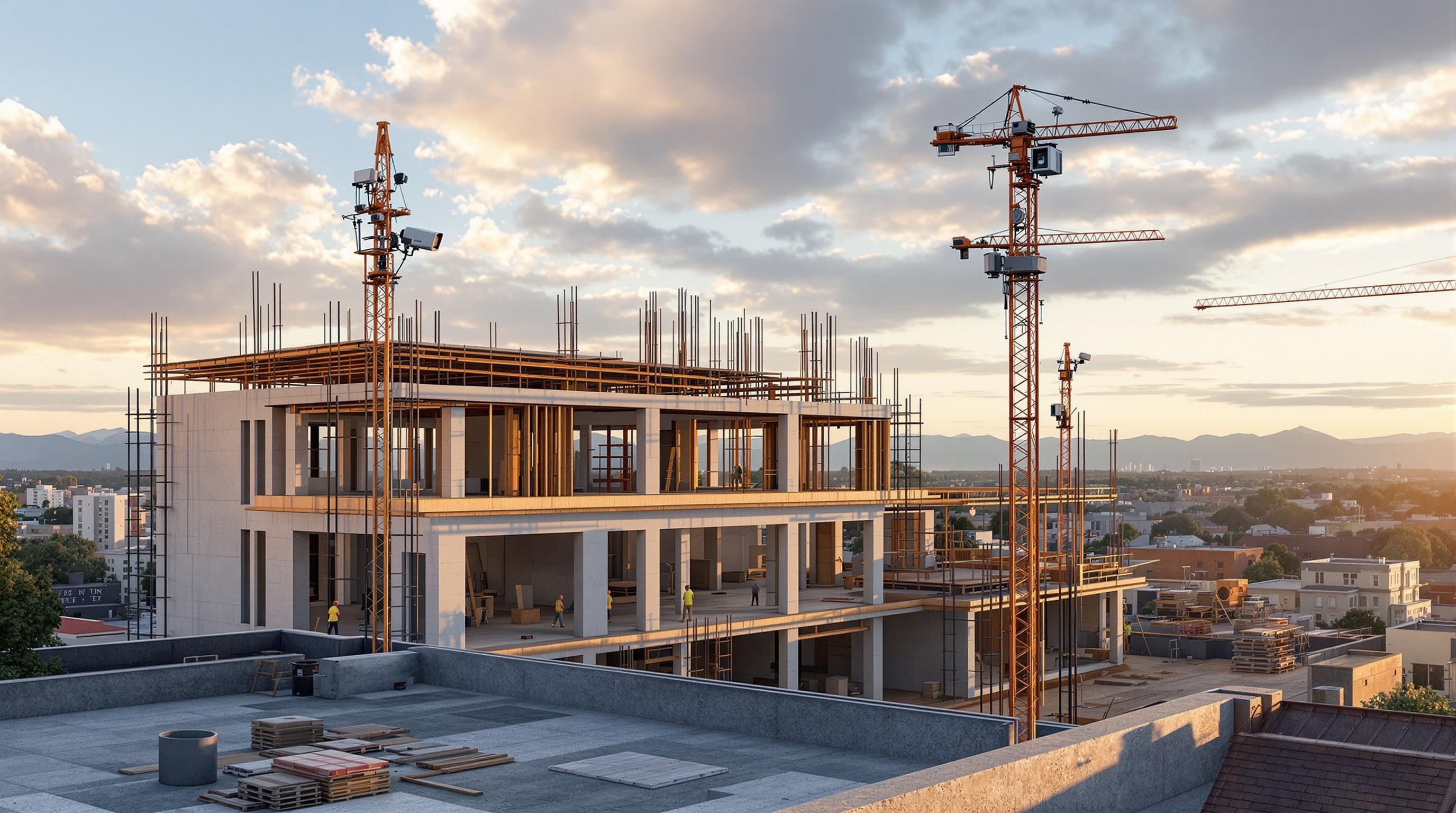
Resilient solar-powered cameras with IP66-rated weatherproof housing assure continuous, all-weather recording—even during power disruptions or harsh events. Optimal placement, including north-facing orientation, delivers full-site visibility and maximizes documentation quality for every project phase.
Automated cloud backup, intelligent data management, and customizable capture intervals transform raw visual records into actionable project intelligence. Multiple synchronized camera angles provide a comprehensive project view, while interval frequency adapts to weather intensity for granular detail when needed and storage efficiency during calm periods.
Master Environmental Challenges with Visual Confidence
Take control of weather-related delays through comprehensive time lapse documentation. The Buildcam system substantiates timeline adjustments with visual evidence, streamlining transparent communication with stakeholders and converting setbacks into defensible, well-documented project milestones.


Proven Performance for All-Weather Time Lapse Capture
Experience reliable time lapse capture and visual documentation across every weather event—guaranteeing continuous coverage, uninterrupted project narratives, and complete environmental evidence for every phase.
High-resolution time lapse images capture detailed site conditions for thorough, objective weather impact visualization and progress reporting.
Minute intervals between captures ensure every weather event is included in your construction site’s visual timeline—as it happens.
Strategic Visual Setup
Begin by strategically placing time lapse cameras to ensure comprehensive site visibility and reliable power. Optimize each camera’s field of view to capture the complete construction timeline, from groundbreaking through completion. Implement resilient backup power, cloud connectivity, and system checks for uninterrupted visual documentation and real-time oversight.
Automated Data Collection
Initiate automated time lapse capture with custom intervals based on site activity and weather conditions. Secure all image data with real-time cloud backup and advanced synchronization. Continuously monitor camera and network health, adjusting settings to maintain peak visual quality and documentation accuracy.

Visual Analysis & Integration
Convert collected time lapse imagery into actionable project intelligence using advanced visual analysis tools. Seamlessly integrate weather impact data and interval imagery with project management platforms for optimized workflow visualization. Create customized visual reporting templates for comprehensive stakeholder communication.

Risk Mitigation & Verification
Leverage visual weather impact records to implement robust risk mitigation strategies. Establish an irrefutable audit trail with time-stamped interval evidence for negotiations, claims, and timeline adjustments. Automate weather-triggered protocols and proactive maintenance scheduling for project resilience.

Scalability & Future-Proofing
Scale your visual documentation system to meet expanding project requirements and technological innovation. Leverage flexible APIs and modular platforms for smooth integration with future tech. Stay compliant with evolving industry standards, while ensuring continuous, high-reliability time lapse capture.

Measurable Results in Weather Impact Documentation
Discover how comprehensive weather impact documentation with time lapse technology elevates project management—delivering concrete visual metrics that drive real-world value.
IP66 Rating for All-Weather Performance
Hour Continuous Time Lapse Documentation
Daily High-Res Time Lapse Images
Transform Your Project Management Today
Experience the future of construction monitoring. Schedule a demo to see our solutions in action.

Explore More Use Cases
Weather Impact Documentation - Frequently Asked Questions
How does Buildcam enable objective weather impact documentation for my project?
Buildcam's Weather Impact Documentation solution captures high-resolution, 24MP time lapse imagery at 10-minute intervals, creating a seamless, visual timeline of site conditions. This empowers project managers to objectively verify environmental impacts, streamline site documentation, and confidently substantiate schedule adjustments when weather affects your project.
What technical features ensure continuous capture during extreme weather events?
Each camera is solar-powered with resilient battery backup and housed in IP66-rated weatherproof casing. This ensures uninterrupted time lapse recording, even during power disruptions, heavy rain, or severe weather—so every event is documented for later review and analysis.
How frequently are images captured, and can I adjust this based on changing weather?
By default, Buildcam captures site images every 10 minutes, providing thorough coverage throughout the day. The system also allows customizable capture intervals—to increase detail during high-impact weather or save storage during calm periods—so you maintain visual clarity without overwhelming your data management.
What are the benefits of visual weather documentation for schedule and risk management?
Buildcam’s visual timelines substantiate schedule changes with irrefutable proof, supporting claims, negotiations, and transparent communication with stakeholders. This transforms unpredictable weather into defensible, well-documented milestones, helping you maintain project momentum and reduce risk.
Can Buildcam weather impact data integrate with my project management tools?
Yes. Collected time lapse imagery and weather impact data can be seamlessly integrated with your project management platforms through customizable APIs and visual reporting templates, streamlining workflow and enhancing team collaboration.
What makes Buildcam’s weather documentation superior to manual site photos or basic monitoring?
Unlike manual updates, Buildcam provides a continuous, automated visual record of site conditions, with 24MP clarity and 10-minute intervals. This offers granular, time-stamped evidence across weather events, supporting both progress verification and compliance, and ensuring nothing is missed due to human error or oversight.
How does the system handle multi-site projects or large portfolios?
Buildcam’s modular platform scales effortlessly, supporting multiple synchronized cameras and locations. Automated cloud backup and centralized visual data management ensure comprehensive oversight across all your projects, regardless of portfolio size or geographic spread.
What reporting and stakeholder communication features are available?
The system converts weather impact imagery into actionable intelligence, with customizable reporting templates for stakeholder updates. Create transparent visual narratives of every weather event, making it easy to communicate delays, progress, and site safety with objective imagery in every stakeholder meeting.
How does Buildcam protect critical data from power or network failures?
Solar panels with battery backup and automated cloud backup processes ensure that every image captured during weather events is safely stored—maintaining a complete project visual record even if local power or network access is lost temporarily.
What measurable impact can I expect by using Buildcam for weather impact documentation?
With Buildcam, you can expect up to 144 high-resolution images captured daily, continuous visual documentation for up to 24 hours at a time, and a robust, IP66-rated system for dependable, all-weather performance. This delivers detailed, verifiable visual data, improving your ability to make informed, defensible project decisions.